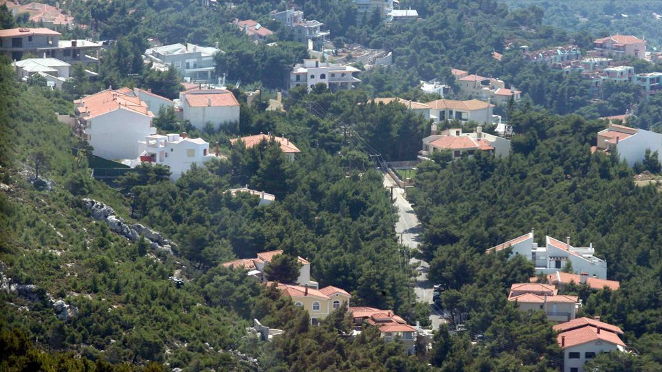
The new provisions are included in the bill entitled “Digital Enhancement of Road Safety and Other Provisions,” which is currently under discussion in the Parliamentary Committees and is expected to be presented to the Plenary next week. The provisions aim to restore the true status of properties that were unjustly classified as “forested” or recorded as “unknown owner,” which thus risked being transferred to public ownership.
At the same time, the bill seeks to address the geometric inaccuracies identified in certain areas—primarily Lefkada, Lesbos, and Chios—that have, for years, hindered the completion of the Land Registry.
Correction of Injustices in the Forest Map
Under the new framework, properties mistakenly classified as forest land may be removed from the forest map and corrected in the Land Registry. This can occur if one or more of the following conditions are met:
An objection to the forest map has been accepted, and at least two months have passed since the decision of the Objections Review Committee.
The property is located within an area covered by an approved urban plan or settlement boundary, as evidenced by certification from the Urban Planning Authority.
The land has been excluded from the forest map because, under Law 998/1979, it is not considered forest or forest land. In this case, a certificate from the forester or a map excerpt must be provided.
Legislation recognizes that the State has no ownership rights—for instance, due to court rulings, because the private owner held the property before 1967, or because the land has been acknowledged as agricultural.
A decision declaring the land as reforestable has been revoked or amended, with the corresponding Government Gazette published.
Extrajudicial Resolution for Properties Listed as State-Owned
A key feature of the bill is that it now allows private owners to correct erroneous Land Registry records without having to resort to the courts, which was previously mandatory.
Specifically, owners can submit to the Land Registry Office:
A declaration of ownership with title deeds, even if the property has already been recorded as belonging to the Hellenic State, either in the final tables or as “unknown owner.”
This declaration will now be considered a request to correct a manifest error, which the Land Registry Office may accept regardless of any expired deadlines.
For cases where the property also appears as state-owned on the forest map, the owner may additionally submit the decision of the Objections Committee confirming their ownership.
Provisions for Lefkada, Lesbos, and Chios
The bill also addresses the “Gordian knot” of significant discrepancies in the pilot land surveys of these islands. In these areas, the locations and boundaries of many parcels were recorded with substantial errors, leaving the process unresolved since 2015.
Specifically, the bill provides for the public digital posting of new provisional cadastral tables and maps following on-site inspections, the right to submit objections which will be reviewed by the institution of the Certified Engineer, and, finally, the authority of the Hellenic Cadastre Administrative Board to determine posting procedures and related processes.


